The Enguri River: The Raging Heart of Svaneti
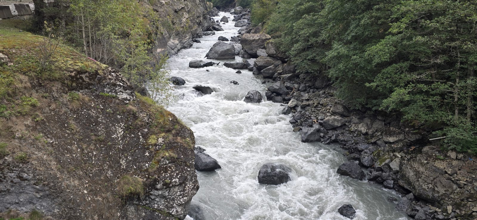
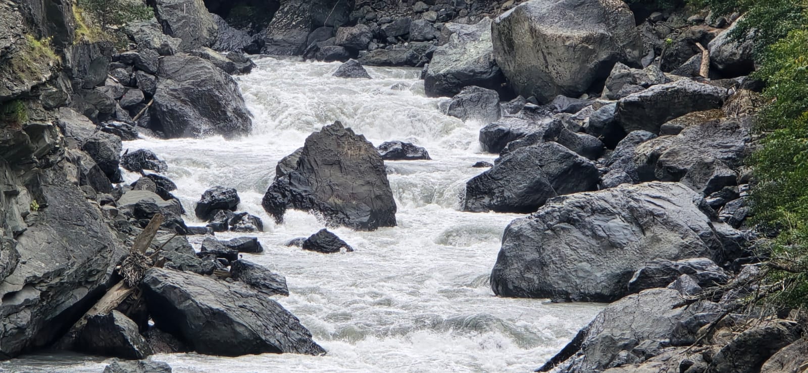
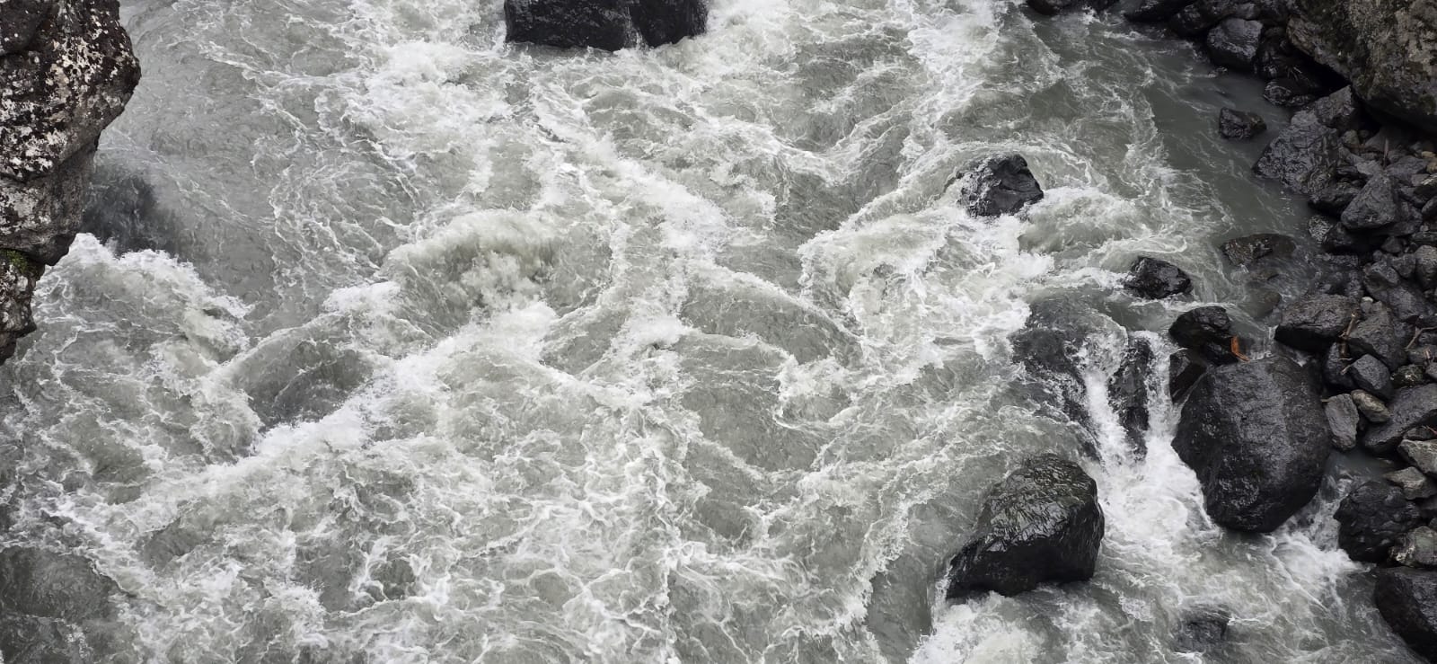
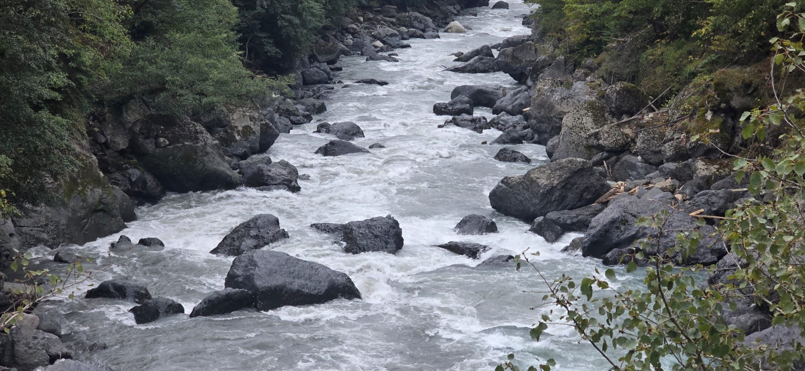
The Enguri River (მდინარე ენგური) is one of the most powerful, significant, and iconic rivers in Georgia. Originating from the mighty Shkhara Glacier, Georgia’s highest peak, in the heart of the Upper Svaneti region, the Enguri flows for 213 kilometers through some of the country’s most dramatic landscapes before emptying into the Black Sea. The river is the lifeblood of Svaneti, carving a deep and spectacular gorge through the High Caucasus, a landscape of legendary towers, ancient traditions, and breathtaking beauty. For much of its course, it serves as the natural administrative boundary between Abkhazia and the rest of Georgia.
The Enguri is world-famous for the monumental Enguri Dam, one of the highest arch dams in the world. This Soviet-era engineering marvel, standing at 271.5 meters tall, creates a vast, stunningly beautiful turquoise reservoir and is a major producer of hydroelectric power for the country. The river’s journey from the glaciers to the sea is a story of immense natural power harnessed by human ingenuity. Its milky, glacier-fed waters are a constant, awe-inspiring presence for anyone traveling through Svaneti.
ℹ️ General Information
- Name of River: Enguri River (მდინარე ენგური)
- Location: Samegrelo-Zemo Svaneti and Abkhazia, Georgia.
- Length: 213 km (132 miles)
- Basin Size: 4,060 km² (1,570 sq mi)
- Source (Origin): Shkhara Glacier, Main Caucasus Range.
- Mouth (Where it flows): Black Sea, near Anaklia.
- Main Tributaries: Adishchala, Mulkhura, Nenskra, Khobistsqali.
📍 Geography & Course
The Enguri begins as a raging glacial torrent high in the mountains of Upper Svaneti. It flows through a deep, narrow gorge, surrounded by some of the highest peaks in the Caucasus, including Shkhara, Tetnuldi, and Ushba. The main road to Mestia, the regional center of Svaneti, follows the Enguri and its tributary, the Mulkhura, offering spectacular views. After being tamed by the Enguri Dam, the river continues through the lowlands of Samegrelo before forming a delta at the Black Sea.
🌿 Nature & Ecology
The Enguri basin is a region of incredible biodiversity, with ecosystems ranging from alpine and glacial zones to subtropical coastal wetlands. The high mountain valleys are home to rare wildlife like the Caucasian tur and chamois, while the forests support bears and wolves. The construction of the dam has had a significant impact on the river’s ecology, but the upper reaches remain a pristine wilderness.
🏛️ History & Culture
The Enguri flows through the heart of Svaneti, a region with a fiercely independent history and a unique culture recognized as a UNESCO World Heritage Site.
- Svaneti Towers: The valley is famous for its medieval defensive stone towers, which are a symbol of the region’s defiant spirit.
- Ushguli Community: Located in the upper Enguri valley, Ushguli is one of the highest continuously inhabited villages in Europe and a prime example of Svaneti’s preserved medieval landscape.
- Enguri Dam: A monument of 20th-century industrial ambition, the dam is now a tourist attraction in its own right, recently adding a viewing platform and other facilities.
🚣 Activities & Tourism
- Road Trip to Svaneti: The drive along the Enguri Gorge to Mestia is one of the most scenic road trips in the world.
- Trekking & Mountaineering: The Enguri basin is the base for countless treks and climbs, including to the Shkhara and Ushba glaciers.
- Visiting the Enguri Dam: The dam is a popular stop for tourists, offering guided tours and breathtaking views of the reservoir.
- Whitewater Rafting: Certain sections of the river are used for challenging whitewater rafting.
🛤️ Accessibility
The main road to Mestia is paved and well-maintained, making the middle and upper parts of the Enguri valley accessible year-round (though winter conditions can be challenging). The Enguri Dam is located on this main road. Access to the Abkhazian side of the lower river is restricted.

Leave a review