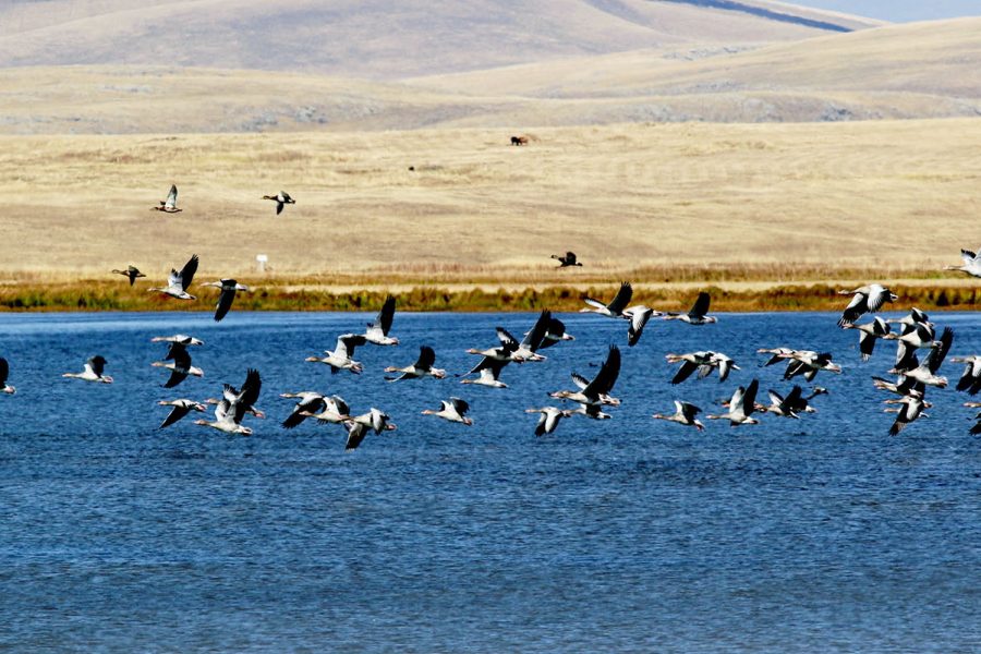
The Khorolistskali River: A Coastal River of Adjara
The Khorolistskali River (მდინარე ყოროლისწყალი) is a river in the Adjara region of southwestern Georgia. It originates on the northern slopes of the Meskheti Range and flows westwards through the Khelvachauri Municipality, passing through the suburbs of Batumi before emptying into the Black Sea. The river is a characteristic feature of Adjara’s subtropical coastal landscape.
While not one of Georgia’s largest rivers, the Khorolistskali is significant for the local area. Its valley is densely populated and utilized for agriculture, particularly for growing citrus fruits, tea, and bamboo, which thrive in the humid subtropical climate. The river is prone to flash floods during heavy rains, a common occurrence in this coastal region. For visitors to Batumi, the river’s valley offers a chance to see the lush, green countryside that surrounds the bustling port city and to explore traditional Adjarian villages.
ℹ️ General Information
- Name of River: Khorolistskali River (მდინარე ყოროლისწყალი)
- Location: Adjara, Georgia (Khelvachauri Municipality)
- Length: 29.5 km
- Basin Size: 143 km²
- Source (Origin): Meskheti Range
- Mouth (Where it flows): Black Sea
📍 Geography & Course
The river begins in the forested mountains of the Meskheti Range and descends towards the coast. Its upper course is steep and fast-flowing, but as it reaches the coastal plain, its gradient decreases, and its flow becomes calmer. It runs parallel to the larger Chorokhi River for some of its lower course.
🌿 Nature & Ecology
The river valley is a prime example of a Colchic ecosystem, with incredibly lush vegetation due to high rainfall. The forests are rich in diverse species of trees and evergreen undergrowth. The river provides a habitat for various fish and amphibians, though its lower reaches are affected by urbanization from the expanding city of Batumi.
🏛️ History & Culture
The area around the Khorolistskali has been inhabited for centuries and is part of the historic Lazeti region.
- Adjarian Villages: The valley is dotted with traditional villages where you can see distinctive Adjarian architecture and experience local culture.
- Proximity to Gonio Fortress: The river’s mouth is located a few kilometers north of the ancient Roman fortress of Gonio, one of Adjara’s most important historical sites.
🚣 Activities & Tourism
- Rural & Eco-Tourism: The valley is great for exploring the countryside near Batumi, with opportunities for visiting small family wineries and local farms.
- Hiking: There are numerous trails in the surrounding mountains, particularly within the nearby Mtirala National Park.
- Local Cuisine: The area is known for its delicious Adjarian cuisine, which can be enjoyed in village restaurants.
🛤️ Accessibility
The Khorolistskali valley is very accessible from Batumi. Roads follow the river inland, making it easy to explore by car or local transport. The area can be visited year-round, though it experiences high rainfall throughout the year.


Leave a review