The Dvirula River: A Stream Between Imereti and Shida Kartli
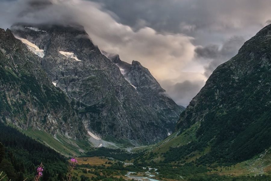
The Dvirula River (მდინარე დვირულა) is a river that flows on the border of two major Georgian regions, Imereti and Shida Kartli, through the Kharagauli and Khashuri municipalities. Originating on the slopes of the Likhi Range, the very ridge that serves as the watershed between eastern and western Georgia, the Dvirula flows eastward to become a left tributary of the Mtkvari River. It carves a scenic, forested gorge, representing the beautiful transitional landscape between the humid west and the drier east of the country.
The river valley is part of the greater ecosystem of the Borjomi-Kharagauli National Park, one of the largest protected areas in the Caucasus. While not a major tourist river, it is a feature of a landscape beloved by hikers and nature enthusiasts. Its valley is home to small villages and historical sites, including the ruins of medieval fortresses that once guarded this important geographical boundary.
ℹ️ General Information
- Name of River: Dvirula River (მდინარე დვირულა)
- Location: Kharagauli (Imereti) and Khashuri (Shida Kartli) municipalities.
- Length: 26 km (16 miles)
- Basin Size: 85 km² (33 sq mi)
- Source (Origin): Eastern slope of the Likhi Range.
- Mouth (Where it flows): Left tributary of the Mtkvari River.
- Main Tributaries: Small mountain streams.
📍 Geography & Course
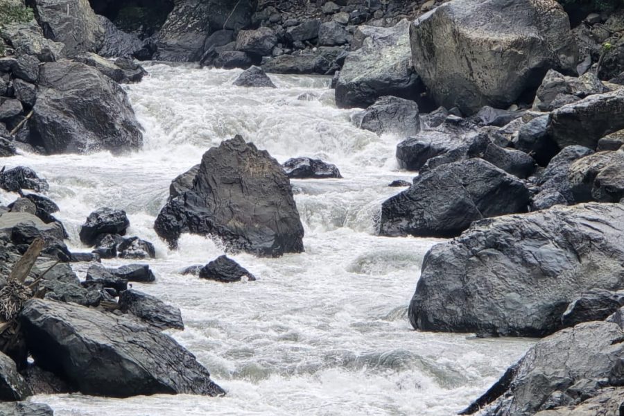
The Dvirula begins as a mountain stream on the Likhi Range and flows through a deep and narrow gorge. The terrain is mountainous and heavily forested. The river has a rapid flow and a rocky bed, typical of a river in this region. It serves as a natural administrative boundary between the two regions for part of its course before joining the Mtkvari near the Surami Pass.
🌿 Nature & Ecology
The Dvirula valley is covered in dense mixed forests, rich in biodiversity. The forests are dominated by beech, hornbeam, oak, and chestnut, providing a habitat for a wide array of wildlife, including roe deer, wild boars, and various bird species. The river’s clean water is home to brown trout and other fish that thrive in fast-flowing mountain streams.
🏛️ History & Culture
The river flows through a historically strategic area.
- Likhi Range Boundary: The river’s location along the watershed range has made its valley a historical borderland between the ancient kingdoms of Colchis (west) and Iberia (east).
- Medieval Fortresses: The ruins of several small watchtowers and fortresses can be found in the vicinity, which once controlled the passages over the Likhi Range.
🚣 Activities & Tourism
- Hiking and Nature Exploration: The valley is an excellent destination for hiking, as it is part of the broader network of trails in the Borjomi-Kharagauli National Park.
- Rural Tourism: The villages in the valley offer an authentic glimpse into the life of the mountain communities on the border of Imereti and Shida Kartli.
🛤️ Accessibility
The Dvirula valley is accessible via local roads that branch off from the main East-West highway (S1) near the Surami Pass. These roads can be unpaved and may require a vehicle with good clearance. The area is best visited from spring through autumn.


Leave a review