Dmanisi Reservoir: The Agricultural Heart of Kvemo Kartli
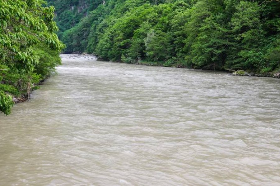
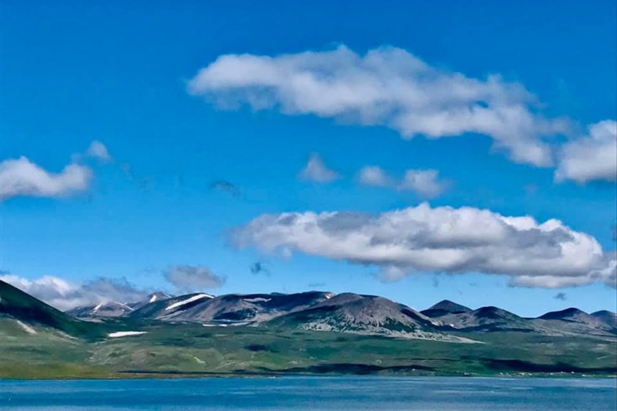
In the rolling hills and agricultural plains of Kvemo Kartli, near the world-famous Dmanisi archaeological site, lies the expansive Dmanisi Reservoir, also known by its old name, Yaqublo Reservoir. This large, man-made body of water was created by damming the Mashavera River and serves a crucial, life-giving role in the region. It is not a wild alpine lake, but a working landscape, a vital resource that underpins the local economy. Its primary purpose is to store water for the irrigation of the surrounding fertile lands, which are known for their vegetable and crop production. The reservoir is a popular spot for local anglers, who fish for carp, grass carp, and other species. While not a major tourist destination for swimming or leisure, its calm, expansive waters provide a pleasant contrast to the dry landscape, offering a peaceful spot for a walk and a glimpse into the agricultural heartland of Georgia.
Identification and Location
- Name: Dmanisi Reservoir (დმანისის წყალსაცავი); also Yaqublo Reservoir.
- Location:
- Country: Georgia
- Region: Kvemo Kartli
- Municipality: Dmanisi
- Nearest Major Landmark/Area: Near the town of Dmanisi and the Dmanisi archaeological site.
- Coordinates: Approximately 41.3850° N, 44.2500° E.
- Connections: Formed on the Mashavera River.
Physical Characteristics
- Surface Area: Approximately 4.5 square kilometers.
- Maximum Depth: Varies, can reach over 20 meters.
- Elevation Above Sea Level: Approximately 1150 meters.
- Water Source(s): Mashavera River.
- Outflowing Stream(s): Mashavera River.
- Water Type: Freshwater.
- Geology of Basin: Artificial basin in a river valley.
Ecological Information
- Flora: The shoreline is mostly comprised of grassland and agricultural fields.
- Fauna: Rich in fish, making it a key location for local amateur and commercial fishing. Species include carp, grass carp, and silver carp.
- Water Clarity: Generally low to moderate due to agricultural runoff and the nature of the river.
- Trophic Level: Eutrophic (rich in nutrients) due to its location in an agricultural basin.
- Conservation Status: Managed for agricultural and water supply purposes.
Human Interaction and Significance
- Historical Significance: Built during the Soviet period to support the region’s agriculture.
- Current Use: The primary use is irrigation for the surrounding farmlands. It is also very important for local fishing.
- Environmental Issues: Vulnerable to pollution from agricultural fertilizers and pesticides, as well as water level fluctuations based on irrigation demands.
- Management and Conservation Efforts: Managed by the state water authorities.
- Local Communities: The reservoir is a critical economic resource for the farmers of Dmanisi Municipality.
Interesting or Unique Facts
- It is located very close to the Dmanisi Archaeological Site, where the earliest hominin fossils outside of Africa were discovered.
- The reservoir is a clear example of Soviet-era hydro-engineering designed to transform landscapes for economic purposes.


Leave a review